Log in
All resources
Create a design
11,660 Free Images of Old Map
maps by willem and johannes blaeu
joan blaeu
copper engraving print
bibliothèque nationale de france
british library
atlas maior, vol 5 (england) - joan blaeu, 1667 - bl 114.h(star).5
john rocque
atlas van loon
maps of paris from bibliothèque nationale de france
classicism
old maps of the caucasus
the frosty caucasus
maps by willem and johannes blaeu
17th-century maps of europe
map of bruges by marcus gheeraerts (i)
art works by johann christian leopold
friedrich bernhard werner
atlas maior, vol 5 (england) - joan blaeu, 1667 - bl 114.h(star).5
old county maps of montgomeryshire
atlas maior, vol 5 (england) - joan blaeu, 1667 - bl 114.h(star).5
old county maps of denbighshire
old maps of geraardsbergen
1649 in europe
atlas maior, vol 5 (england) - joan blaeu, 1667 - bl 114.h(star).5
old county maps of worcestershire
atlas maior, vol 5 (england) - joan blaeu, 1667 - bl 114.h(star).5
old county maps of bedfordshire
palace of westminster in art
floor plans of palaces
maps by daniel lizars
1830s maps of belize
siege of geertruidenberg 1593
maps of geertruidenberg
guide joanne espagne et portugal-1915
1915 maps
old maps of languedoc
1631 maps
1690s maps of grand duchy of lithuania
maps by carolus allard
old maps of luxembourg city
maps by pieter mortier
atlas maior, vol 5 (england) - joan blaeu, 1667 - bl 114.h(star).5
1667 maps
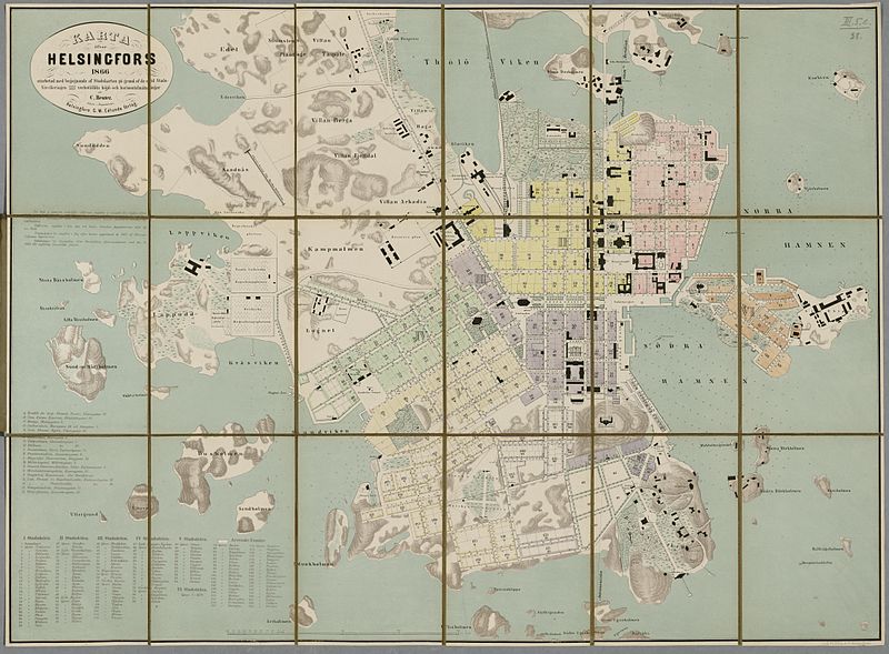
media from the national library of finland
classicism
old maps of schouwen-duiveland
maps by isaak tirion
maps of aire-sur-la-lys city walls
old maps of aire-sur-la-lys
john rocque's 1746 map of london
maps of woolwich
antoine-françois tardieu
maps from gallica
maps by christian sgrothen
old maps of zeeland
old maps of the tuamotus
old maps of polynesia
maps made in the 17th century
forts in the netherlands
old maps of delft
1649
architectonographie des théâtres de paris
maps of paris in the 1830s
maps of paris from bibliothèque nationale de france
maps of paris by john rocque
sheet 15 of the turgot map of paris
maps of paris from paris musées
gemeente atlas van nederland - south holland
old maps of dordrecht
kobe foreign settlement
old maps of kobe
19th-century maps of the black sea
1870s maps of the caucasus
maps of the islands of greece by marco boschini (1658)
old maps of tenedos
old maps of namur (province)
coats of arms on maps
maps of spain by tomas lopez
1780 maps of spain
atlas maior, vol 11 (asia) - joan blaeu, 1667 - bl 114.h(star).11
1667 maps
topographischer atlas der schweiz
mur (dit) d'hannibal
19th-century maps of the black sea
1870s maps of the caucasus
arabian expedition (1761-1767)
historical images of yemen
maps from university of amsterdam special collections
atlas der neederlanden
guide joanne espagne et portugal-1906
french-language maps of spain
gemeente atlas van nederland - south holland
old maps of gorinchem
atlas van der hagen (volume 2)
1680s maps of the netherlands
old rail transport maps of the united kingdom
charles frederick cheffins
media from the national library of finland
classicism
eran laor cartographic collection
edward weller
fire and sword in the sudan (1896) by slatin
maps from the mechanical curator collection
old maps of gravelines
flandria illustrata
maps from the earth and its inhabitants, vol. xii
africa in the 1890s
chicago and the midwest, newberry library
old maps of chicago
john rocque's 1746 map of london
details of old maps of london
old maps of hesse
baroque
maps from the portail des bibliothèques spécialisées de la ville de paris
maps from the bibliothèque historique de la ville de paris
atlas van loon
1664 maps
old maps of japan
kimura kenkado
petit atlas pittoresque des 48 quartiers de la ville de paris, bhvp
proletarian literature
maps of tartary by mercator-hondius
old maps of turkestan
turgot map of paris, kyoto university library – derivative files
foire saint-germain on old maps
maps of polders in south holland
old maps of delfland
old maps of westland
old maps of delfland
1642 maps
baroque
media from the national library of finland
classicism
claes jansz. visscher (ii)
1650s maps of the world
maps from the earth and its inhabitants, vol. vii
old maps of jiangsu
old maps of the battle of waterloo
emery walker
old maps of rio grande do norte
old maps of paraíba
maps by willem and johannes blaeu
maps of tiel
map of paris by françois quesnel
hôtel du petit-bourbon
latin-language maps
bologna ptolemy
maps of spain by tomas lopez
history of gipuzkoa
old maps showing history
1820s maps of europe
maps in the british museum
prints by mario cartaro
guide joanne espagne et portugal-1906
french-language maps
enceinte of philippe-auguste on old maps
1610s maps of paris
maps made in the 17th century
old maps of sicily
cartes de franz schrader
old maps of kolkata
prints by cornelius drebbel
old maps of alkmaar
montgomery, alabama in the 1880s
maps in the library of congress
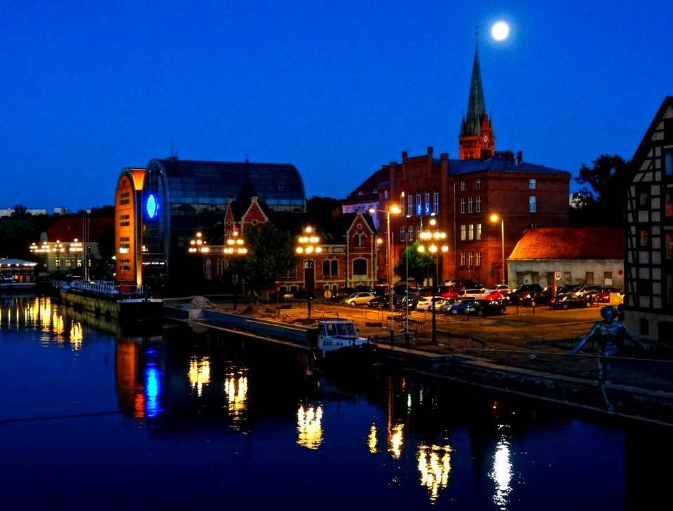
water
town
skyline
travel
old and new london, illustrated (1873) by walter thornbury and edward walford - bl 1887 copy
maps from the mechanical curator collection
maps by girolamo porro
1598 maps of russia
cartouches by willem and johannes blaeu
dutch-language maps
maps by willem and johannes blaeu
old maps of arnhem
old maps of flanders
1635 maps
siege of steenwijk 1592
maps of steenwijk
old maps of saxony
pieter schenk (ii)
gemeente atlas van nederland - north holland
old maps of beverwijk
old maps in the bibliothèque nationale de france
old maps of the holy roman empire
pages with maps
cc-pd-mark
17th-century paintings of soldiers
lambert de hondt (ii)
17th-century maps of crimea
1640s maps of ukraine
maps of paris from bibliothèque nationale de france
maps of paris by louis-joseph mondhare
maps of paris from bibliothèque nationale de france
bird's eye view maps of paris
17th-century maps of south asia
maps by alexis-hubert jaillot
maps by frederick william beechey
northwest passage
architectonographie des théâtres de paris
maps of paris in the 1830s
media from the national library of finland
classicism
maps of waterways in the netherlands
maps of nieuwe merwede
old maps of manhattan, new york city
jasper danckaerts
7201 - 7300 of 11,660
Next page
/ 117


![[a] Bedfordiensis Comitatvs; [b] Bvckinghamiensis Comitatvs, Joan Blaeu, 1667](https://cdn.creazilla.com/illustrations/10001510670/a-bedfordiensis-comitatvs-b-bvckinghamiensis-comitatvs-joan-blaeu-1667-sm.webp)


![Untitled [Map 7], 1477](https://cdn.creazilla.com/illustrations/10001152007/untitled-map-7-1477-md.jpg)